
ABOUT THE jERICHO gAP
STEP INTO A LIVING GHOST TOWN
Jericho Gap on Route 66
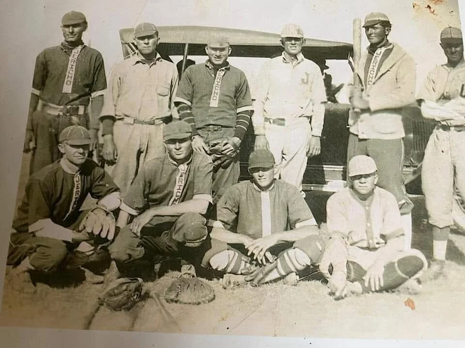
The Community of Jericho was established in 1902. In it’s formative years. Jericho saw rapid growth. Early landowner James H. Altizer served as the town’s first postmaster and conveyed parts of his land to the railroad. New residents established farms, ranches and businesses in 1926. The Bureau of Public Roads launched the first federal highway system and established Route 66. Extending 2,400 miles from Chicago to Los Angeles, Route 66 became a popular transcontinental route for business and leisure travelers alike. Like elsewhere in the country, Route 66 often followed existing roads.
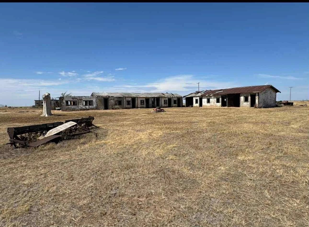
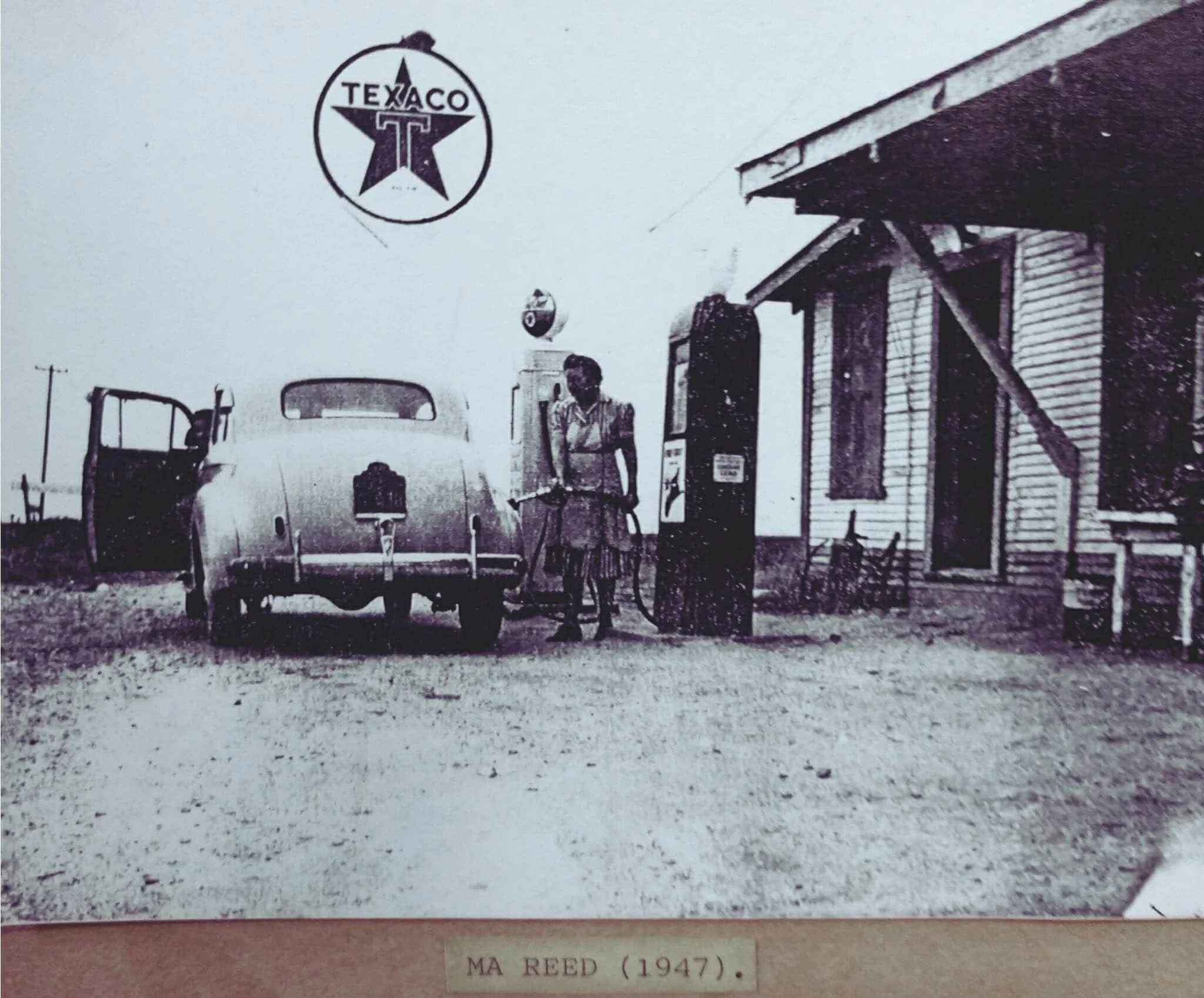
Donley County received above half of the 18 miles of the route between Alanreed and Groom which became known as the “Jericho Gap” along a mail route from Amarillo to Oklahoma. Donley County entrepreneurs and merchants seize new economic opportunities catering to motorists. Roadside establishments, such as the garage owned by the Ashmead family and the filling station owned by Ernest R. Reeves, emerged. Motor Courts accommodated and fed overnight guests. A school was established , the population along The Jericho Gap peaked at 100 in the 1930’s.
However, the early highway was paved. The Jericho Gap became notorious for flooding and mud, which made the roads impassable motorists often got stuck and needed assistance. Locals like the Reeds and Foshees pulled motorists out of the mud and provided essential supplies, provisions and mechanical assistance to stranded travelers. Officials identified the mud issue, and in 1936, moved Route 66 North to the current alignment of Interstate 40. By 1939, The population was 50, and the school consolidated to Groom in the 1940’s. The Jericho Gap remains an important piece of the cultural history of Route 66 and the Region